Mühlriegel (1080 m)
Ödriegel (1156 m)
Schwarzeck (1236 m)
Reischflecksattel (1126 m)
Heugstatt (1262 m)
Enzian (1285 m)
Kleiner Arber (1384 m)
Großer Arber (1456 m)
An eventful hike on the premium long-distance hiking trail "Goldsteig" to the king of the Bavarian Forest, the Großer Arber
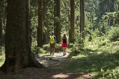
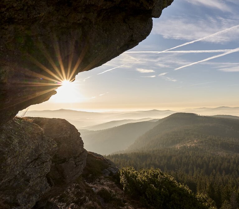
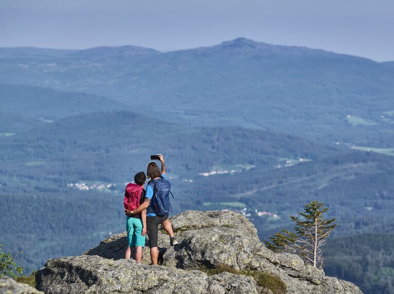
Enjoy fantastic panoramas. Let your gaze wander over the wide forest of the Bavarian Forest. Take in the scent of spruce and fir. Listen to the sweet song of the birds and feel the wind blowing through the treetops: this and much more is hiking on the Goldsteig, at 660 kilometers the longest and most varied of Germany's quality hiking trails.
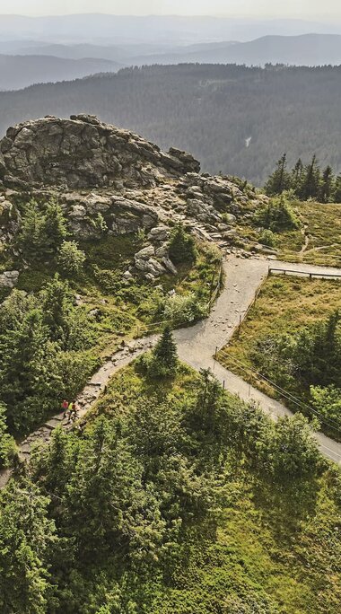
Experience the unique Goldsteig on its most beautiful section between Eck and Großer Arber. Along the way, rustic mountain huts and eight beautiful peaks await you, with the King of the Bavarian Forest as the crowning glory
Up to the roof of the Bavarian Forest
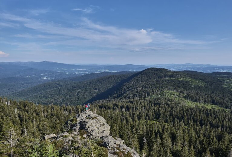
A challenge that must appeal to every hiking enthusiast.
The hike starts at the corner between the Bavarian Forest communities of Arnbruck and Arrach. In total, this unique Goldsteig stage leads over eight thousand-metre peaks, including the Großer Arber (1456 meters), the roof of the Bavarian Forest.
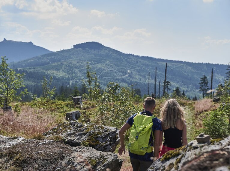

Rustic mountain huts invite you to take a break

After the Schareben, which lies below the Heugstatt (1262), the hike leads up to the Kleiner Arber (1384 meters). On its southern slope is another cozy place to stop for refreshments, the Chamer Hütte - also known as the Kleiner Arber shelter. Here you can recharge your batteries for the final ascent to the Großer Arber. Enjoy Bavarian delicacies and refreshing drinks on the cozy terrace before tackling the last few kilometers up to the King of the Bavarian Forest.
Now you've reached your destination!
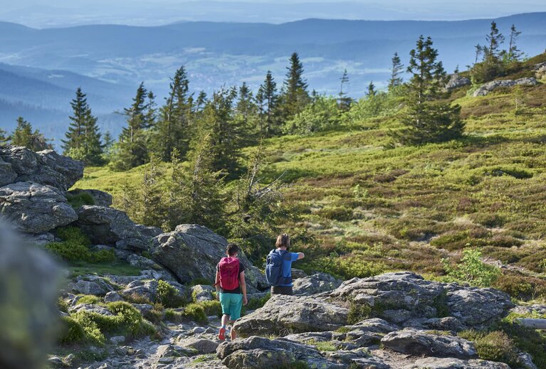
Conqueror of the eight-thousanders
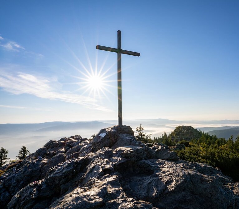
Once you reach the top, your legs will be tired, but the happiness of reaching the summit, the feeling of having made it and, last but not least, the 360° panoramic view over the Bavarian and Bohemian Forest will quickly make you forget the efforts of the past few hours. Now you are the conqueror of the eight-thousanders!
Recommended hiking time:
The tour is best done between mid-May and October. Further information at the Bodenmais tourist information office.
