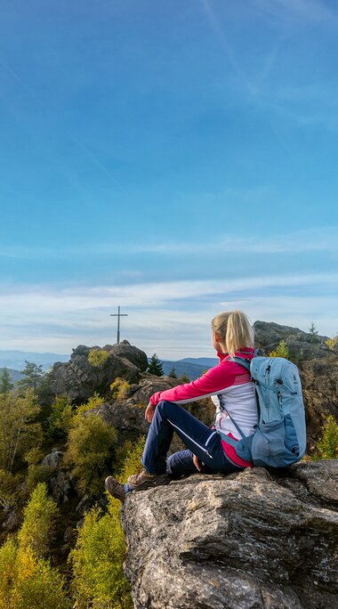
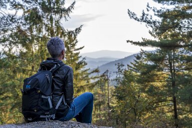
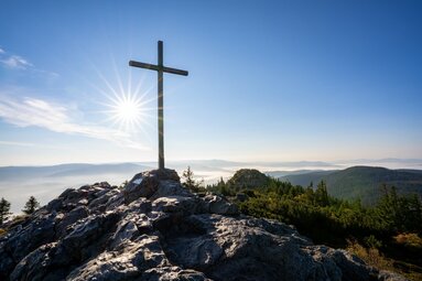
For those who find Mount Everest, Mont Blanc or Denali too high and challenging, there is now a "more leisurely" alternative in the Bavarian Forest: the "Seven Summits Bodenmais". The hike combines the seven most beautiful peaks around the climatic health resort. Hikers have 47 kilometers and 1862 meters of altitude to conquer.
In 2023, the tour was voted 2nd place in the "Multi-day tours" category in the public vote for "Germany's most beautiful hiking trails", which is carried out by the renowned specialist magazine "Wandermagazin".
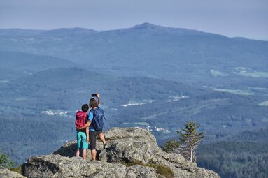
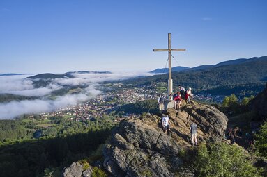
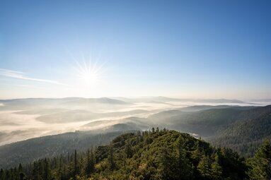
The most breathtaking natural spectacles of the Bavarian Forest lie along the varied route. Starting from Bodenmais, two insider tips in the south are climbed first: the Kronberg (983 m) and the Harlachberg (914 m), from whose summit a wonderful panorama of Bodenmais and the Arber massif opens up. On the way, the idyllic Gutsalm Harlachberg, situated in a clearing, offers the opportunity for a cozy rest. Via the districts of Glashütte, Riederin and Mielseuthen, the route continues along the Rothbach stream and along easy forest paths to the Sternknöckel (818 m), the third summit.
Highlights:
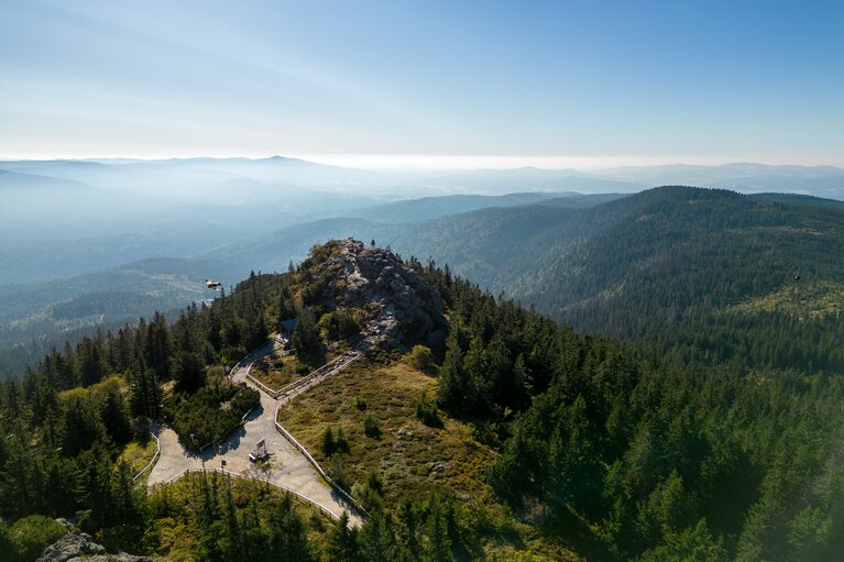
- Großer Arber (at 1456 m, the roof of the Bavarian Forest)
- Silberberg (Bodenmais' local mountain with visitor mine)
- Gutsalm Harlachberg (refreshment stop in a forest clearing with inn and beautiful beer garden)
- Chamer Hütte (rustic mountain hut at the foot of the Kleiner Arber)
- Mittagsplatzl (viewpoint above the Großer Arbersee with a view over the sea of forest)
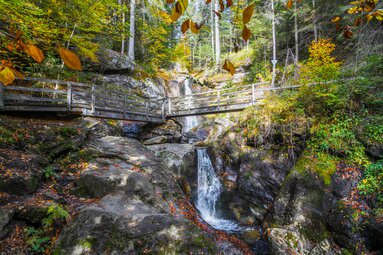
- Hochfall (second highest waterfall in the Bavarian Forest)
TO THE IMPRESSIVE HIGH WATERFALL
The route continues via the Waid, Sternpoint and Mais districts to the imposing Hochfall, the second highest waterfall in the Bavarian Forest. It is worth pausing here for a moment to admire the power of the water. The tour then leads along the Moosbach stream via Tausender, Hüttlschachten and Enzianwies (from here on the Goldsteig premium long-distance hiking trail) to the Kleiner Arber (1384 m). In fine weather, the ascent is rewarded with a view as far as the Alps. On the southern slope of the Kleiner Arber, in the middle of the forest, lies the Chamer Hütte. Here you can enjoy a hearty snack or sweet Kaiserschmarrn pancakes. The fourth summit has been reached and the fifth is already in sight.
ZUM BEEINDRUCKENDEN HOCHWASSERFALL
Weiter geht es über die Ortsteile Waid, Sternpoint und Mais zum imposanten Hochfall, dem zweithöchsten Wasserfall des Bayerischen Waldes. Hier lohnt es sich, einen Moment innezuhalten und die Kraft des Wassers zu bewundern. Anschließend führt die Tour entlang des Moosbachs über Tausender, Hüttlschachten und Enzianwies (ab hier auf dem Premium-Fernwanderweg Goldsteig) zum Kleinen Arber (1384 m). Bei schönem Wetter wird der Aufstieg mit einer Aussicht bis zu den Alpen belohnt. Am Südhang des Kleinen Arbers, mitten im Wald, liegt die Chamer Hütte. Hier kann man eine deftige Brotzeit oder süßen Kaiserschmarrn genießen. Der vierte Gipfel ist erreicht und der fünfte ist schon in Sicht.
SUNSET ON THE SILBERBERG
Now it's time for the last stage. The route leads along narrow paths to the Schönebene and around the Brandtner Riegel up to the Silberberg (995 m), Bodenmais' local mountain. In the last light of the setting sun, the view sweeps over the village and the adjacent Zellertal valley. A picturesque panorama - and a crowning finale to the "Seven Summits Bodenmais"!
Hint: The "Seven Summits Bodenmais" are best hiked in two day stages. The Chamer Hütte, which is located directly on the route, is a good place to stay overnight. Very sporty hikers can also complete the tour in one day.
Tour dates "Seven Summits Bodenmais"
Distance: 47 km
Duration: 16-17 h (pure walking time)
Elevation gain: 1862 m
Difficulty: very difficult
